Watercolor Maps by Stamen Design
Stamen Design’s founder Eric Rodenbeck discusses the inspiration behind the design of Watercolor Maps, acquired in 2021 by Cooper Hewitt, Smithsonian Design Museum. Watercolor Maps is a web-based open-source mapping tool designed by Stamen Design, a San Francisco-based data visualization and cartography design studio and winner of the 2017 National Design Award in Interaction Design.
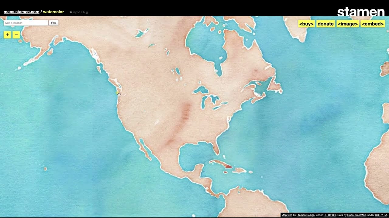
Launched in 2012, Watercolor Maps is one of three styles in the maps.stamen.com series that offers searchable, zoomable, and downloadable maps available online for free under a Creative Commons Attribution 3.0 license. The watercolor style imbues the digital map with the irregularities and textures of a hand-painted object. Hand-painted watercolor washes using a variety of brushes and papers were translated into the map tiles through complex digital image manipulation, scripted by Stamen designers.
Watercolor Maps recaptures the tactility and hand-hewn nature of physical maps, qualities that are so often lost with digital maps. Water is rendered in blues mixed with turquoise and violet; green spaces are yellow, forest, and muddy greens; terrain is a combination of peaches, browns, and violet; motorways are oranges, reds, and browns; buildings are lavender gray. The color washes retain the texture of rough paper– with darker tones where the pigment accumulated, dispersing in lighter hues, the edges soft, yet still defined. The expressiveness of the map’s design not only enhances but drives its function. Map images taken from Watercolor Maps have been used in thousands of open-source projects around the world.