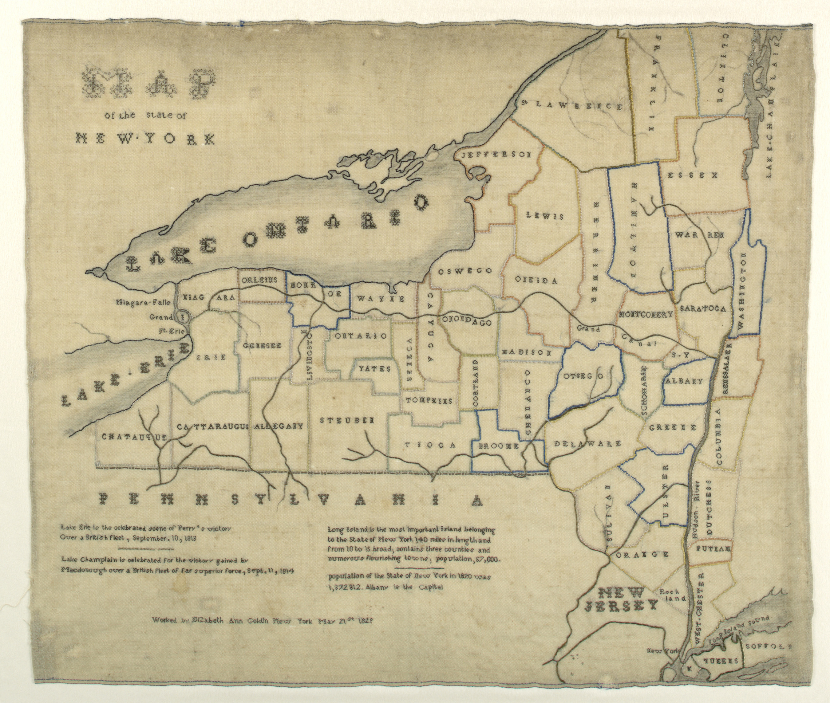
Elizabeth Ann Goldin was fourteen when she embroidered this map of the State of New York. Such map samplers would have provided an excellent opportunity for schoolgirls to display their knowledge of geography as well as their needlework skills. In addition to outlining and naming each New York county, Elizabeth depicts Lakes Erie, Ontario, and...
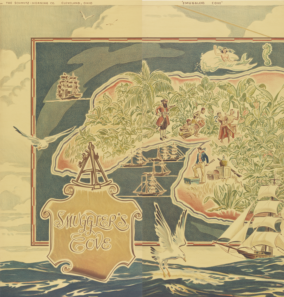
These two panels are part of a large gift of 163 papers by The Wallpaper Council, Inc. The papers were most likely showroom samples as there are no complete sets of murals or maps, each of the designs was given in multiple colorways, and each panel contains a black and white photo on the reverse...
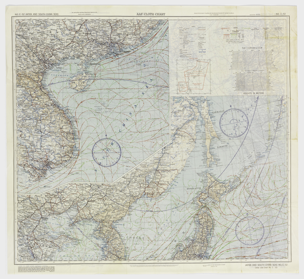
“Escape and Evasion” maps were given to airmen during World War II to avoid capture behind enemy lines. Such maps were one of many in the military man’s arsenal, but in some respects this navigational tool represents one of the most significant products of war-era ingenuity. This Pacific Ocean “drift map,” scaled at 1:4,000,000, illustrates...
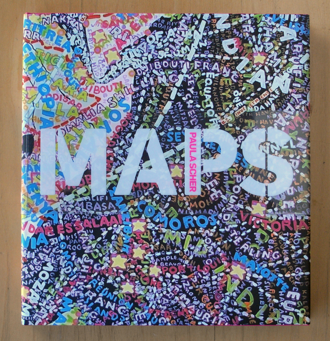
There is a show called MAPS at the Bryce Wolkowitz Gallery exhibiting an abundant selection of cartographic paintings by Paula Scher of Pentagram, including pieces painted between 1998 and 2010. You don’t realize how big these paintings are when you see them online or reproduced as prints—for example, the World Trade map from 2010 is...